
Bir Dheb topographic map
Interactive map
Click on the map to display elevation.
About this map
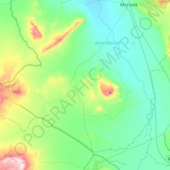
Name: Bir Dheb topographic map, elevation, terrain.
Location: Bir Dheb, Morsott District, Tébessa, Algeria (35.47714 7.77916 35.65492 8.05401)
Average elevation: 2,864 ft
Minimum elevation: 2,320 ft
Maximum elevation: 4,747 ft