
Méndez topographic map
Interactive map
Click on the map to display elevation.
About this map
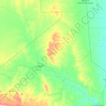
Name: Méndez topographic map, elevation, terrain.
Location: Méndez, Tamaulipas, México (24.91280 -98.86384 25.50437 -98.05858)
Average elevation: 381 ft
Minimum elevation: 62 ft
Maximum elevation: 1,490 ft