
Meis topographic map
Interactive map
Click on the map to display elevation.
About this map
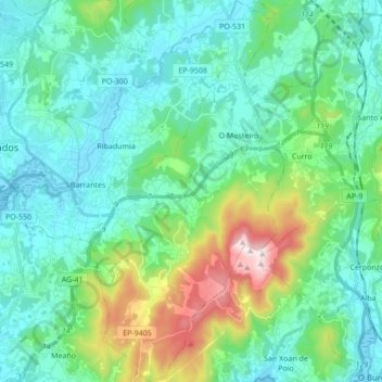
Name: Meis topographic map, elevation, terrain.
Location: Meis, Salnés, Pontevedra, Galicia, España (42.43639 -8.76914 42.56305 -8.66970)
Average elevation: 423 ft
Minimum elevation: -3 ft
Maximum elevation: 1,991 ft