
Bubendorf topographic map
Interactive map
Click on the map to display elevation.
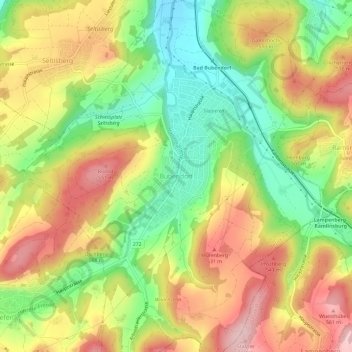
Bubendorf topographic map, elevation, terrain
About this map
Name: Bubendorf topographic map, elevation, terrain.
Location: Bubendorf, Bezirk Liestal, Basel-Landschaft, 4416, Schweiz (47.42668 7.71535 47.46668 7.75535)
Average elevation: 1,493 ft
Minimum elevation: 1,115 ft
Maximum elevation: 1,877 ft