
马堽集乡 topographic map
Interactive map
Click on the map to display elevation.
About this map
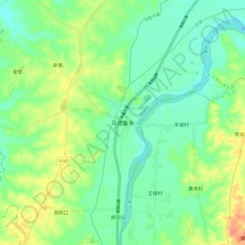
Name: 马堽集乡 topographic map, elevation, terrain.
Location: 马堽集乡, 固始县, 信阳市, 河南省, 中国 (32.04615 115.37682 32.12615 115.45682)
Average elevation: 194 ft
Minimum elevation: 138 ft
Maximum elevation: 295 ft