
Sidi Slimane topographic map
Interactive map
Click on the map to display elevation.
About this map
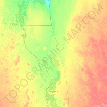
Name: Sidi Slimane topographic map, elevation, terrain.
Location: Sidi Slimane, Meggarine District, Touggourt, Algeria (33.22356 5.71777 33.40843 6.13429)
Average elevation: 226 ft
Minimum elevation: 105 ft
Maximum elevation: 344 ft