
津幡町 topographic map
Interactive map
Click on the map to display elevation.
About this map
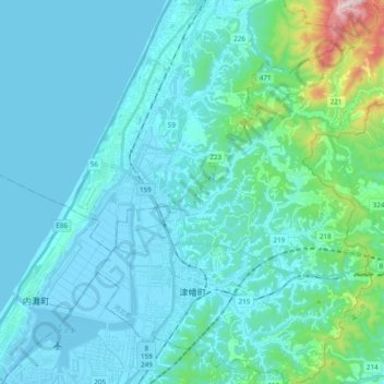
Name: 津幡町 topographic map, elevation, terrain.
Location: 津幡町, 河北郡, Prefectura de Ishikawa, 929-0319, Japón (36.62891 136.68599 36.78350 136.84512)
Average elevation: 233 ft
Minimum elevation: -20 ft
Maximum elevation: 2,047 ft