
Leynhac topographic map
Interactive map
Click on the map to display elevation.
About this map
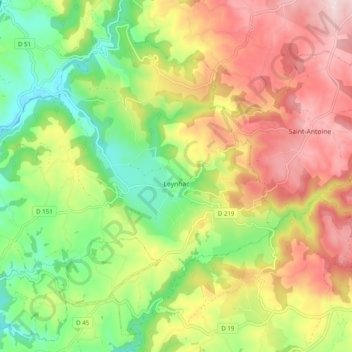
Name: Leynhac topographic map, elevation, terrain.
Average elevation: 1,759 ft
Minimum elevation: 1,201 ft
Maximum elevation: 2,398 ft
Other topographic maps
Click on a map to view its topography, its elevation and its terrain.
La Moneyrie
France > Auvergne-Rhône-Alpes > Cantal > Leynhac > La Moneyrie
La Moneyrie, Leynhac, Aurillac, Cantal, Auvergne-Rhône-Alpes, France métropolitaine, 15600, France
Average elevation: 1,483 ft