
Jurong Hill Park topographic map
Interactive map
Click on the map to display elevation.
About this map
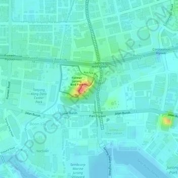
Name: Jurong Hill Park topographic map, elevation, terrain.
Location: Jurong Hill Park, Boon Lay, Southwest, Singapore (1.31524 103.70414 1.32041 103.71019)
Average elevation: 36 ft
Minimum elevation: -3 ft
Maximum elevation: 197 ft
Other topographic maps
Click on a map to view its topography, its elevation and its terrain.