
Голая topographic map
Interactive map
Click on the map to display elevation.
About this map
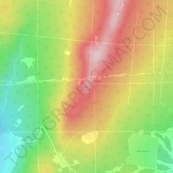
Name: Голая topographic map, elevation, terrain.
Average elevation: 2,005 ft
Minimum elevation: 1,529 ft
Maximum elevation: 2,464 ft
Other topographic maps
Click on a map to view its topography, its elevation and its terrain.
Oziorsk
Russie > Oblast de Tcheliabinsk
Oziorsk, Oblast de Tcheliabinsk, District fédéral de l'Oural, Russie
Average elevation: 755 ft