
Santa Maria topographic map
Interactive map
Click on the map to display elevation.
About this map
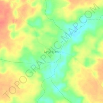
Name: Santa Maria topographic map, elevation, terrain.
Location: Santa Maria, Riberalta, Antonio Vaca Díez, Beni, Bolivia (-11.13867 -65.95778 -11.09867 -65.91778)
Average elevation: 509 ft
Minimum elevation: 417 ft
Maximum elevation: 587 ft
Other topographic maps
Click on a map to view its topography, its elevation and its terrain.
Firmeza
Bolivia > Beni > Antonio Vaca Díez > Riberalta
Firmeza, Canton Ivon, Riberalta, Antonio Vaca Díez, Beni, Bolivia
Average elevation: 453 ft