
Sokoľ topographic map
Interactive map
Click on the map to display elevation.
About this map
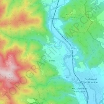
Name: Sokoľ topographic map, elevation, terrain.
Average elevation: 1,289 ft
Minimum elevation: 728 ft
Maximum elevation: 2,533 ft
The village lies at an altitude of 250 metres and covers an area of 15.662 km². The municipality has a population of 880 people.