
Make a donation
Gear up for your next adventure:
As an Amazon Associate, this site earns from qualifying purchases at no extra cost to you.
Hackberry topographic map
Click on the map to display elevation.
Make a donation
Gear up for your next adventure:
As an Amazon Associate, this site earns from qualifying purchases at no extra cost to you.
Hackberry
Hackberry is located in north-central Cameron Parish at 29°59′11″N 93°23′50″W / 29.98639°N 93.39722°W / 29.98639; -93.39722 (29.986485, -93.397190), at an elevation of 8 feet (2.4 m) above sea level on the west side of Calcasieu Lake. Louisiana State Highway 27 passes through the CDP, leading north 17 miles (27 km) to Sulphur and south 20 miles (32 km) to Holly Beach on the Gulf of Mexico.
Make a donation
Gear up for your next adventure:
As an Amazon Associate, this site earns from qualifying purchases at no extra cost to you.
About this map
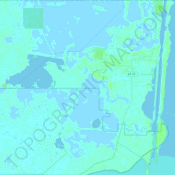
Name: Hackberry topographic map, elevation, terrain.
Location: Hackberry, Cameron Parish, Louisiana, 70645, United States (29.87720 -93.52928 30.05228 -93.32869)
Average elevation: 3 ft
Minimum elevation: -10 ft
Maximum elevation: 49 ft
Cameron Parish trails, hiking, mountain biking, running and outdoor activities
Make a donation
Gear up for your next adventure:
As an Amazon Associate, this site earns from qualifying purchases at no extra cost to you.
Other topographic maps
Click on a map to view its topography, its elevation and its terrain.