
Ammeloe topographic map
Interactive map
Click on the map to display elevation.
About this map
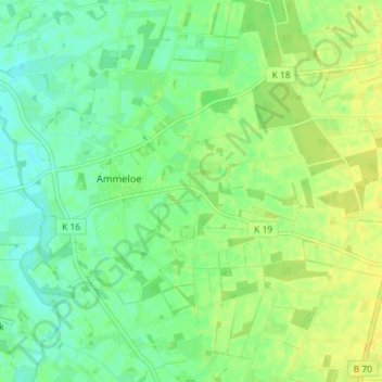
Name: Ammeloe topographic map, elevation, terrain.
Location: Ammeloe, Vreden, Kreis Borken, Noordrijn-Westfalen, Duitsland (52.06301 6.77348 52.09642 6.84552)
Average elevation: 118 ft
Minimum elevation: 89 ft
Maximum elevation: 148 ft