
Lower Fox River - Blakes Landing Nature Preserve topographic map
Interactive map
Click on the map to display elevation.
About this map
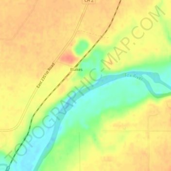
Name: Lower Fox River - Blakes Landing Nature Preserve topographic map, elevation, terrain.
Average elevation: 597 ft
Minimum elevation: 505 ft
Maximum elevation: 653 ft