
Djehifa topographic map
Interactive map
Click on the map to display elevation.
About this map
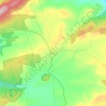
Name: Djehifa topographic map, elevation, terrain.
Location: Djehifa, Zaarouria, daïra Taoura, Souk Ahras, Algérie (36.16836 7.95073 36.20836 7.99073)
Average elevation: 2,923 ft
Minimum elevation: 2,497 ft
Maximum elevation: 3,455 ft