
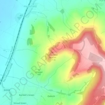
Haresfield Beacon topographic map
Interactive map
Click on the map to display elevation.
About this map
Name: Haresfield Beacon topographic map, elevation, terrain.
Average elevation: 367 ft
Minimum elevation: 89 ft
Maximum elevation: 837 ft
Other topographic maps
Click on a map to view its topography, its elevation and its terrain.
Selsley Common
Vereinigtes Königreich > England > Gloucestershire > Stroud
Selsley Common, Stroud, Gloucestershire, England, GL5 5LQ, Vereinigtes Königreich
Average elevation: 354 ft