Geolocate

Ridge Manor topographic map

Click on the map to display elevation.

About this map

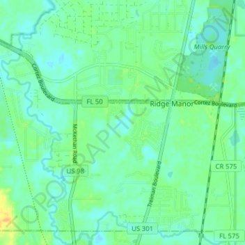
Name: Ridge Manor topographic map, elevation, terrain.

Location: Ridge Manor, Brooksville, Hernando County, Florida, United States (28.47842 -82.21607 28.52780 -82.15278)

Average elevation: 72 ft

Minimum elevation: 43 ft

Maximum elevation: 141 ft

Hernando County trails, hiking, mountain biking, running and outdoor activities

Gear up for your next adventure:

🪑Portable Camp Table - Compact table for campsite meals
🕶️GPS Smartphone Mount - Secure mount for phone navigation
🛰️Satellite Messengers - Emergency SOS and two-way messaging for off-grid adventures
🎒Waterproof Dry Bags - Keep your electronics and maps dry inside your pack
🕶️Glacier Sunglasses - Side shields to protect eyes from high-altitude snow glare

As an Amazon Associate, this site earns from qualifying purchases at no extra cost to you.