
Tangareal del Mira topographic map
Interactive map
Click on the map to display elevation.
About this map
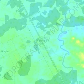
Name: Tangareal del Mira topographic map, elevation, terrain.
Location: Tangareal del Mira, Tumaco, Nariño, Colombia (1.53163 -78.70921 1.57163 -78.66921)
Average elevation: 46 ft
Minimum elevation: 23 ft
Maximum elevation: 85 ft