
Farr topographic map
Interactive map
Click on the map to display elevation.
About this map
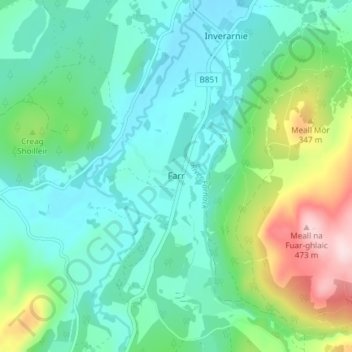
Name: Farr topographic map, elevation, terrain.
Location: Farr, Highland, Schotland, IV2 6XJ, VK (57.34948 -4.21166 57.38948 -4.17166)
Average elevation: 820 ft
Minimum elevation: 571 ft
Maximum elevation: 1,575 ft