
上村 topographic map
Interactive map
Click on the map to display elevation.
About this map
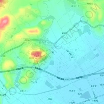
Name: 上村 topographic map, elevation, terrain.
Location: 上村, 云南驿镇, 祥云县, 大理白族自治州, 云南省, 中国 (25.40210 100.67150 25.44210 100.71150)
Average elevation: 6,493 ft
Minimum elevation: 6,411 ft
Maximum elevation: 6,791 ft