
Nederhemert-Zuid topographic map
Interactive map
Click on the map to display elevation.
About this map
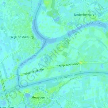
Name: Nederhemert-Zuid topographic map, elevation, terrain.
Location: Nederhemert-Zuid, Gelderland, Nederland, 5317KZ, Nederland (51.72992 5.12744 51.76992 5.16744)
Average elevation: 10 ft
Minimum elevation: -23 ft
Maximum elevation: 36 ft