
Caleras topographic map
Interactive map
Click on the map to display elevation.
About this map
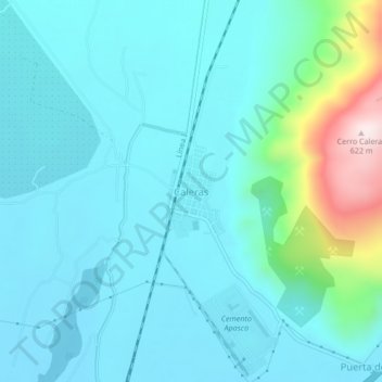
Name: Caleras topographic map, elevation, terrain.
Location: Caleras, Tecomán, Colima, Mexique (18.97669 -103.89868 19.01669 -103.85868)
Average elevation: 479 ft
Minimum elevation: 184 ft
Maximum elevation: 2,037 ft