
Deerwood topographic map
Interactive map
Click on the map to display elevation.
About this map
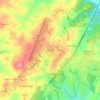
Name: Deerwood topographic map, elevation, terrain.
Location: Deerwood, Albemarle County, Virginia, VA 22911, USA (38.11541 -78.46612 38.15541 -78.42612)
Average elevation: 535 ft
Minimum elevation: 367 ft
Maximum elevation: 669 ft