
Senica topographic map
Interactive map
Click on the map to display elevation.
About this map
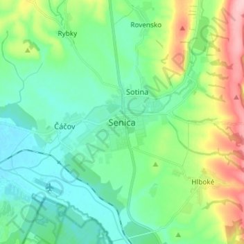
Name: Senica topographic map, elevation, terrain.
Location: Senica, Region of Trnava, Western Slovakia, 905 01, Slovakia (48.63876 17.32615 48.71876 17.40615)
Average elevation: 741 ft
Minimum elevation: 604 ft
Maximum elevation: 1,106 ft