
Imgdal topographic map
Interactive map
Click on the map to display elevation.
About this map
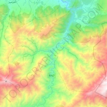
Name: Imgdal topographic map, elevation, terrain.
Average elevation: 5,692 ft
Minimum elevation: 2,444 ft
Maximum elevation: 11,434 ft
Other topographic maps
Click on a map to view its topography, its elevation and its terrain.
Asni
Asni, caïdat d'Asni, cercle d'Asni, Province d'Al Haouz, Marrakech-Safi, Maroc
Average elevation: 6,529 ft
أرمد
Maroc > cercle d'Asni > Asni
أرمد, Asni, caïdat d'Asni, cercle d'Asni, Province d'Al Haouz, Marrakech-Safi, Maroc
Average elevation: 6,893 ft