
Tak topographic map
Interactive map
Click on the map to display elevation.
About this map
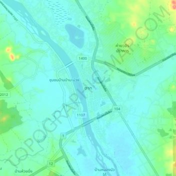
Name: Tak topographic map, elevation, terrain.
Location: Tak, Nong Bua Tai, Tak Province, 63000, Thailand (16.83226 99.08484 16.91226 99.16484)
Average elevation: 397 ft
Minimum elevation: 344 ft
Maximum elevation: 656 ft