
鸡丑山 topographic map
Interactive map
Click on the map to display elevation.
About this map
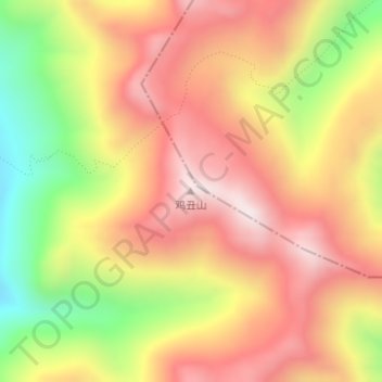
Name: 鸡丑山 topographic map, elevation, terrain.
Location: 鸡丑山, 九龙县, 甘孜藏族自治州, 四川省, 中国 (29.29256 101.49676 29.29266 101.49686)
Average elevation: 14,403 ft
Minimum elevation: 13,074 ft
Maximum elevation: 15,374 ft
Other topographic maps
Click on a map to view its topography, its elevation and its terrain.