
Smith Lake topographic map
Interactive map
Click on the map to display elevation.
About this map
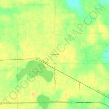
Name: Smith Lake topographic map, elevation, terrain.
Location: Smith Lake, Wright County, Minnesota, USA (45.06302 -94.13498 45.10302 -94.09498)
Average elevation: 1,047 ft
Minimum elevation: 988 ft
Maximum elevation: 1,076 ft