
Holdorf topographic map
Interactive map
Click on the map to display elevation.
About this map
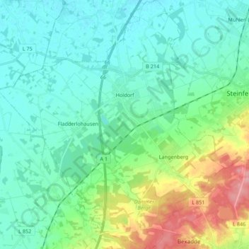
Name: Holdorf topographic map, elevation, terrain.
Location: Holdorf, Landkreis Vechta, Nedersaksen, 49451, Duitsland (52.52405 8.04190 52.62482 8.19360)
Average elevation: 174 ft
Minimum elevation: 85 ft
Maximum elevation: 456 ft