
El Tarf topographic map
Interactive map
Click on the map to display elevation.
About this map
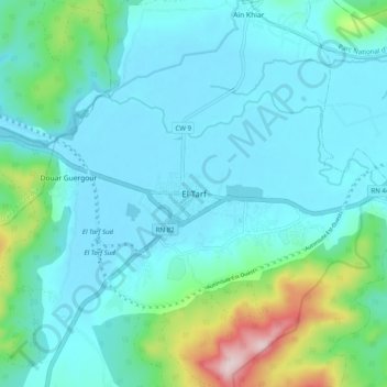
Name: El Tarf topographic map, elevation, terrain.
Location: El Tarf, Daïra El Tarf, El Tarf, 3600, Algérie (36.72672 8.27694 36.80672 8.35694)
Average elevation: 269 ft
Minimum elevation: 66 ft
Maximum elevation: 1,286 ft