

Copacabana topographic map
Click on the map to display elevation.
Copacabana
Copacabana has a cold subtropical highland climate (Cwc), a rare variant of this type of climate, but commonplace near most of Lake Titicaca. Similar to many areas with this climate, Copacabana features a markedly drier "low-sun" season. Because of the high altitude of Copacabana, the town is chilly throughout the course of the year. However, due to the fact that Copacabana is located in the tropics, there are only slight variations in temperatures. While daytime temperatures hover around 15 °C (59 °F) throughout the year, nighttime temperatures during the "low-sun" season are somewhat cooler than at other times of the year. It is not uncommon for temperatures to drop below freezing during the "low-sun" season.
About this map
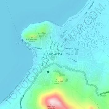
Name: Copacabana topographic map, elevation, terrain.
Location: Copacabana, Provincia Manco Kapac, La Paz, Bolivia (-16.17387 -69.09362 -16.15803 -69.07239)
Average elevation: 12,677 ft
Minimum elevation: 12,493 ft
Maximum elevation: 13,789 ft