
Saltese topographic map
Interactive map
Click on the map to display elevation.
About this map
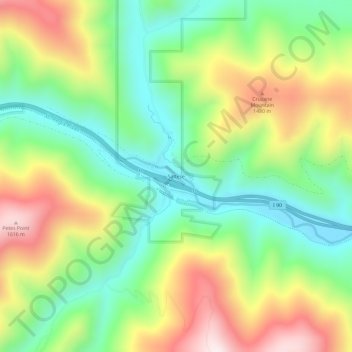
Name: Saltese topographic map, elevation, terrain.
Location: Saltese, Mineral County, Montana, United States of America (47.39021 -115.52960 47.43021 -115.48960)
Average elevation: 4,131 ft
Minimum elevation: 3,294 ft
Maximum elevation: 5,371 ft