
Sanghar topographic map
Interactive map
Click on the map to display elevation.
About this map
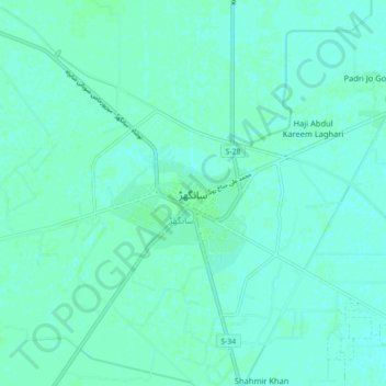
Name: Sanghar topographic map, elevation, terrain.
Location: Sanghar, Sānghar District, Sindh, Pakistan (26.00704 68.90924 26.08704 68.98924)
Average elevation: 72 ft
Minimum elevation: 62 ft
Maximum elevation: 79 ft