
Guadalupe topographic map
Interactive map
Click on the map to display elevation.
About this map
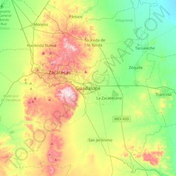
Name: Guadalupe topographic map, elevation, terrain.
Location: Guadalupe, Zacatecas, 98613, Mexico (22.58704 -102.67620 22.90704 -102.35620)
Average elevation: 7,526 ft
Minimum elevation: 6,722 ft
Maximum elevation: 8,957 ft