
La Caparra topographic map
Interactive map
Click on the map to display elevation.
About this map
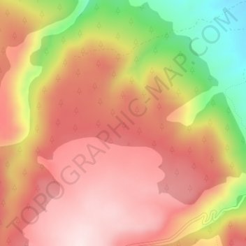
Name: La Caparra topographic map, elevation, terrain.
Location: La Caparra, Fortanete, Maestrazgo, Teruel, Aragón, España (40.48405 -0.56798 40.50405 -0.54798)
Average elevation: 5,312 ft
Minimum elevation: 4,485 ft
Maximum elevation: 5,801 ft