Geolocate

Comstock topographic map

Click on the map to display elevation.

About this map

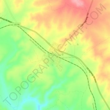
Name: Comstock topographic map, elevation, terrain.

Location: Comstock, Val Verde County, Texas, United States (29.66496 -101.19430 29.70496 -101.15430)

Average elevation: 1,562 ft

Minimum elevation: 1,378 ft

Maximum elevation: 1,729 ft

Val Verde County trails, hiking, mountain biking, running and outdoor activities

Gear up for your next adventure:

🪑Ultralight Camp Chairs - Portable seating for resting after a long day of mapping
🔌USB Car Charger - Car charger for on‑the‑go power needs
🔭Telescopic Hiking Pole - Adjustable pole for hiking stability
🔭Compact Binoculars - HD vision for scouting terrain and identifying distant landmarks
🚁Photography Drones - Capture stunning aerial views of landforms and topography

As an Amazon Associate, this site earns from qualifying purchases at no extra cost to you.