
Purushottapatnam topographic map
Interactive map
Click on the map to display elevation.
About this map
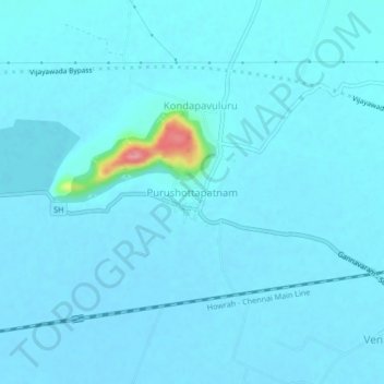
Name: Purushottapatnam topographic map, elevation, terrain.
Average elevation: 72 ft
Minimum elevation: 49 ft
Maximum elevation: 400 ft
Other topographic maps
Click on a map to view its topography, its elevation and its terrain.
Savamgudem
India > Andhra Pradesh > Gannavaram
Savamgudem, Gannavaram, Krishna District, Andhra Pradesh, 521107, India
Average elevation: 62 ft