
Huimanguillo topographic map
Interactive map
Click on the map to display elevation.
About this map
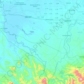
Name: Huimanguillo topographic map, elevation, terrain.
Location: Huimanguillo, Tabasco, México (17.31284 -94.12976 18.21135 -93.29536)
Average elevation: 230 ft
Minimum elevation: -7 ft
Maximum elevation: 3,465 ft