
Caldelas topographic map
Interactive map
Click on the map to display elevation.
About this map
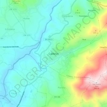
Name: Caldelas topographic map, elevation, terrain.
Location: Caldelas, Amares, Braga, Cávado, Norte, 4720-249, Portugal (41.64862 -8.39599 41.68862 -8.35599)
Average elevation: 571 ft
Minimum elevation: 98 ft
Maximum elevation: 1,818 ft