
Wielsbeke topographic map
Interactive map
Click on the map to display elevation.
About this map
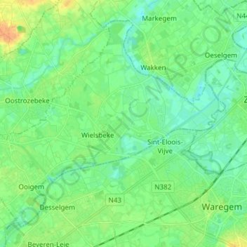
Name: Wielsbeke topographic map, elevation, terrain.
Location: Wielsbeke, West Flanders, Flanders, 8710, Belgium (50.88031 3.31017 50.94570 3.43396)
Average elevation: 46 ft
Minimum elevation: 10 ft
Maximum elevation: 115 ft