
Monte Roraima topographic map
Interactive map
Click on the map to display elevation.
About this map
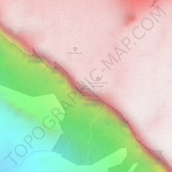
Name: Monte Roraima topographic map, elevation, terrain.
Average elevation: 7,825 ft
Minimum elevation: 5,308 ft
Maximum elevation: 9,042 ft
Other topographic maps
Click on a map to view its topography, its elevation and its terrain.
Auyantepui
Venezuela > Bolívar > Parroquia Sección Capital Gran Sabana
Auyantepui, Parroquia Sección Capital Gran Sabana, Municipio Gran Sabana, Bolívar, Venezuela
Average elevation: 5,528 ft