
La Cumbre topographic map
Interactive map
Click on the map to display elevation.
About this map
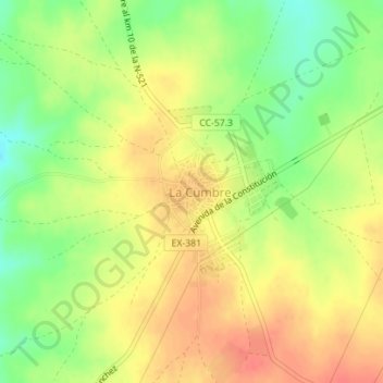
Name: La Cumbre topographic map, elevation, terrain.
Location: La Cumbre, Trujillo, Cáceres, Extremadura, 10270, España (39.40150 -5.97973 39.40754 -5.96919)
Average elevation: 1,539 ft
Minimum elevation: 1,437 ft
Maximum elevation: 1,614 ft