
Alderly Mill 1866c-71 Dam topographic map
Interactive map
Click on the map to display elevation.
About this map
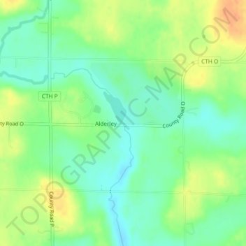
Name: Alderly Mill 1866c-71 Dam topographic map, elevation, terrain.
Average elevation: 971 ft
Minimum elevation: 915 ft
Maximum elevation: 1,043 ft
Other topographic maps
Click on a map to view its topography, its elevation and its terrain.
Reeseville
United States > Wisconsin > Dodge County
Reeseville, Dodge County, Wisconsin, United States
Average elevation: 827 ft