
Pedhi topographic map
Interactive map
Click on the map to display elevation.
About this map
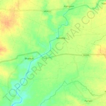
Name: Pedhi topographic map, elevation, terrain.
Location: Pedhi, Amravati, अमरावती, Maharashtra, 444600, India (20.86827 77.58953 20.94937 77.67075)
Average elevation: 997 ft
Minimum elevation: 942 ft
Maximum elevation: 1,050 ft
Other topographic maps
Click on a map to view its topography, its elevation and its terrain.
Amravati
India > Maharashtra > Amravati
Amravati, अमरावती, Maharashtra, 444600, India
Average elevation: 1,132 ft