
Currant topographic map
Interactive map
Click on the map to display elevation.
About this map
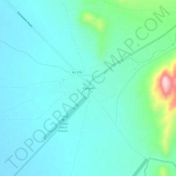
Name: Currant topographic map, elevation, terrain.
Location: Currant, Nye County, Nevada, United States of America (38.72227 -115.49380 38.76227 -115.45380)
Average elevation: 5,243 ft
Minimum elevation: 5,049 ft
Maximum elevation: 6,194 ft