
Villa topographic map
Interactive map
Click on the map to display elevation.
About this map
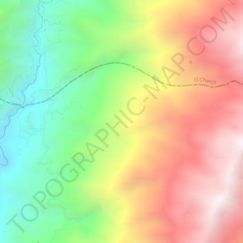
Name: Villa topographic map, elevation, terrain.
Location: Villa, Leiva, Nariño, Colombia (1.93774 -77.35720 1.97774 -77.31720)
Average elevation: 5,791 ft
Minimum elevation: 3,422 ft
Maximum elevation: 8,327 ft