
Torete topographic map
Interactive map
Click on the map to display elevation.
About this map
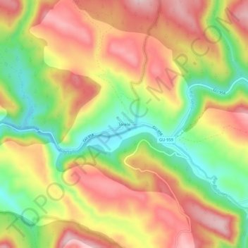
Name: Torete topographic map, elevation, terrain.
Location: Torete, Corduente, Guadalajara, Castile-La Mancha, Spain (40.79500 -2.07585 40.83500 -2.03585)
Average elevation: 3,563 ft
Minimum elevation: 3,117 ft
Maximum elevation: 3,950 ft