
Balvanera topographic map
Interactive map
Click on the map to display elevation.
About this map
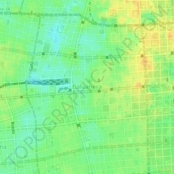
Name: Balvanera topographic map, elevation, terrain.
Location: Balvanera, Buenos Aires, CABA, Argentine (-34.62068 -58.41465 -34.59801 -58.39166)
Average elevation: 98 ft
Minimum elevation: 52 ft
Maximum elevation: 141 ft
Other topographic maps
Click on a map to view its topography, its elevation and its terrain.
San Nicolás
Argentine > CABA > Buenos Aires
San Nicolás, Buenos Aires, CABA, Argentine
Average elevation: 102 ft
Palermo
Argentine > CABA > Buenos Aires
Palermo, Buenos Aires, CABA, Argentine
Average elevation: 49 ft