
Rheinberg topographic map
Interactive map
Click on the map to display elevation.
About this map
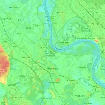
Name: Rheinberg topographic map, elevation, terrain.
Location: Rheinberg, Kreis Wesel, North Rhine – Westphalia, 47495, Germany (51.50353 6.53351 51.62474 6.69959)
Average elevation: 79 ft
Minimum elevation: 33 ft
Maximum elevation: 203 ft